
Geolocation and referencing system for underground networks – Pipe Tracer
GENERAL DESCRIPTION
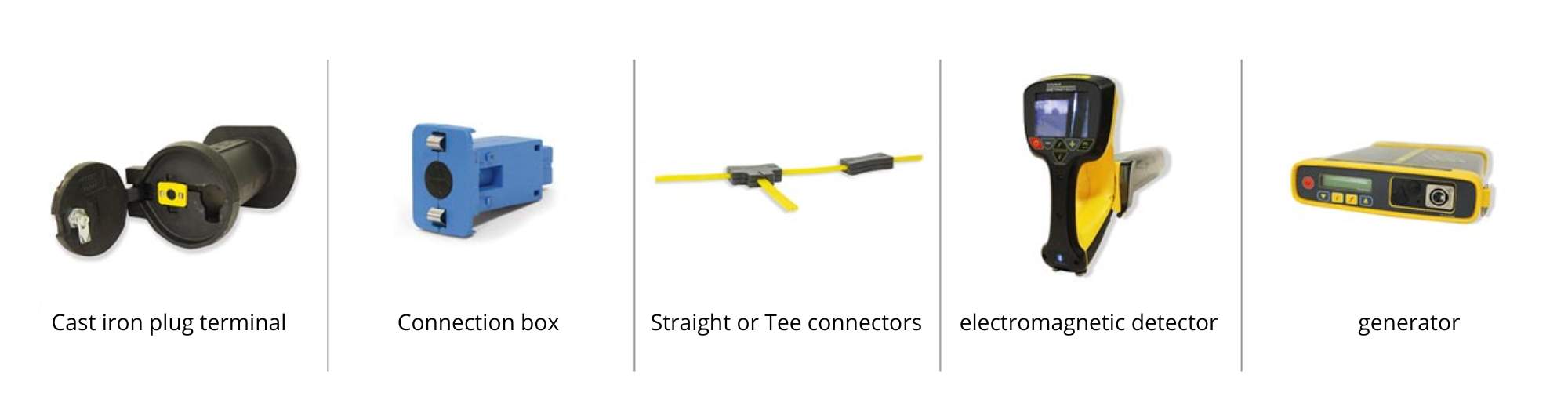
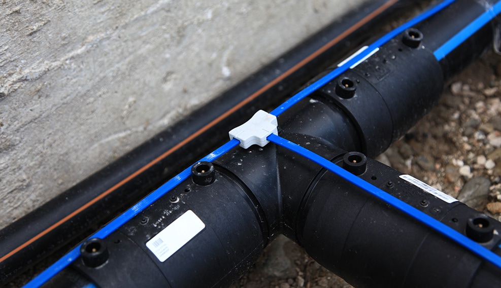
High-precision geolocation system + referencing of underground network infrastructures, to be positioned on the outer upper generatrix of the pipes during installation. The system is composed of:
- A small steel cable completely coated with polyethylene to be isolated and protected from the aggressiveness of the surrounding environment (soil pH, stray currents, water)
- Straight and TEE connectors for watertight connections between the cables
- Plastic connection boxes for the introduction of the electromagnetic signal, equipped with two stainless steel fins to allow grounding
- Connection jack to the connection box for the introduction of the electromagnetic signal
- Small cast iron terminal manholes to house the individual connection boxes when placed on pedestrian or vehicular pathways
- “WBH”* plastic frames, fixable to cement, plastic walls (manholes, valves and water meter boxes), or poles, for positioning and securing the connection boxes and grounding connection
- RFID (Radio Frequency Identification) tags – on request – for recording and reading of referencing information of individual network sections, placed inside the cast iron terminal manholes or on the WBH frame
The installed system remains passive throughout its lifetime but can be activated at any time by introducing an electromagnetic signal from any connection box via a specific generator (external portable). This condition makes the cable continuous sly traceable by appropriate instruments (available on the market in various brands and types) with a high degree of precision, obtaining 3D GPS coordinates. The RFID tags are writable and readable with specific instruments or simple smartphones equipped with NFC technology.
* WBH: Wall Box Holder
MAIN FEATURES
High degree of 3D localization accuracy
Creation of precise underground maps
Enhanced safety for construction workers
Reduced intervention times when necessary
Deterrent against negligent installation (exact detection of position and depth of buried pipes)
Durability (chemical and electrical inertia)
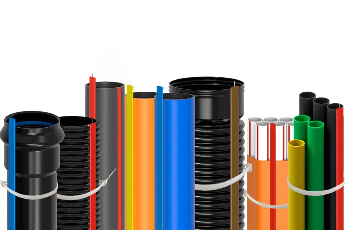
Suitable for any type of material, shape, and size of buried pipes
Electromagnetic signal suitable for any type of service (water, gas, energy, telephony, optical fibers, etc.)
Ease and speed of installation
Specialized watertight fittings
Referencing system for individual sections of pipelines
Components
The Pipe Tracer geolocation system brings significant operational advantages to utilities, impacting moderately on the extra cost for project execution borne by the contractor. It represents an optimal trade-off between costs and benefits.
In this regard, companies SOLIMENO, BICICCHI, and CERAGIOLI have won important tenders in the TUSCANY REGION by proposing this innovative system for georeferencing underground pipelines to contracting authorities (GAIA and NUOVE ACQUE). Network managers also need to carry out fast and cost-effective interventions while minimizing disruption to the populations in affected areas (excavations on roads and/or sidewalks), thereby avoiding damage to other underground infrastructures and service interruptions.
With Pipe Tracer, there is effectively a perfectly traceable infrastructure mapped in terms of both plan and altitude (3D coordinates), with a high degree of precision, regardless of the type, diameter, and material of the pipes to be traced. This ensures the operators to avoid any damages to the existing buried networks.
References
TUSCANY REGION
[dicembre 4th, 2019|Products Focus, References]
This post is also available in: